BMTC Bus Timings & Stops

Find Best Job near you
Discover full-time, part-time, and work-from-home opportunities.
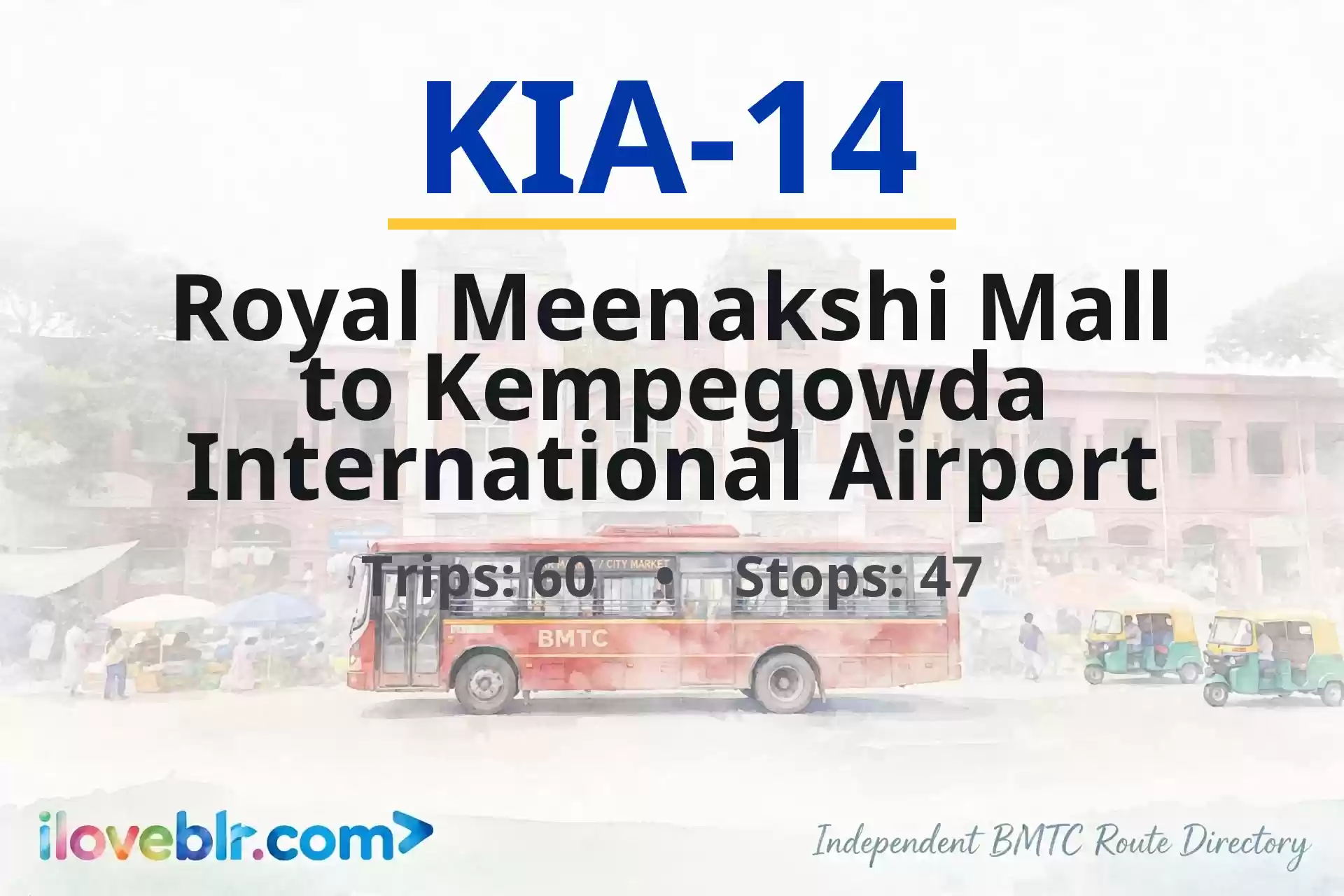
Route KIA-14 — Key Facts
Updated 5 Nov 2026- Route number
- KIA-14
- Origin
- Royal Meenakshi Mall
- Destination
- Kempegowda International Airport
- Total stops
- 47
- Total distance
- 46.5 km (approx.)
- Total travel time
- 1 hr 40 min to 2 hr 30 min
- Trips per day
- 60
- Service type
- Vayu Vajra (Airport)
- First bus
- 1:15 AM
- Last bus
- 11:45 PM
schedule Schedule & Timings ▼
01:15 02:30 03:00 03:30 04:00 04:20 04:40 05:00 05:15 05:30 05:50 06:10 06:25 06:40 06:55 07:10 07:25 07:40 07:55 08:10 08:25 08:40 08:55 09:15 09:40 10:00 10:20 10:50 11:15 11:40 12:10 12:40 13:25 14:00 14:30 14:50 15:20 15:40 16:10 16:30 16:45 17:00 17:15 17:30 17:50 18:05 18:20 18:40 19:00 19:15 19:30 19:45 20:00 20:15 20:30 20:50 21:10 21:35 22:00 22:20 22:55 23:45
Stop-by-Stop Sequence
47 total stops
1
Royal Meenakshi Mall
▼
Royal Meenakshi Mall bus stop is on Bannerghatta Road at Royal Meenakshi Mall in south Bengaluru, near Hulimavu Gate, Arekere and Bilekahalli. Royal Meenakshi Mall is one of south Bengaluru's largest shopping malls, with retail stores, a PVR multiplex, a large food court and a family entertainment zone, and draws shoppers from Hulimavu, BTM Layout, JP Nagar, Arekere, Gottigere and Bannerghatta Road. The stop is a major boarding point for mall visitors and for commuters heading to Bannerghatta National Park, and connects to Majestic, KR Market, Jayanagar, Banashankari, BTM Layout, JP Nagar and Bannerghatta.
🚌 Other buses at this stop:
📍 Nearby
- Royal Meenakshi Mall — adjacent
- Bannerghatta Road — adjacent
- Hulimavu Gate — 1.5 km
- Arekere — 1 km
- Bilekahalli — 1.5 km
- Apollo Hospital, Bannerghatta Road — 2.5 km
- Bannerghatta National Park — 9 km
2
Hulimavu Gate
▼
Hulimavu Gate bus stop is on Bannerghatta Road at the Hulimavu junction in south Bengaluru, near Arekere, Bilekahalli, Gottigere and the Hulimavu Lake belt. Hulimavu is a major residential locality on Bannerghatta Road with apartment clusters, schools, hospitals, local markets and the Hulimavu Cave Temple, and sits on the main corridor towards Bannerghatta National Park. Connects to Majestic, KR Market, Jayanagar, Banashankari, BTM Layout, JP Nagar and Bannerghatta.
🚌 Other buses at this stop:
📍 Nearby
- Hulimavu Gate junction — adjacent
- Bannerghatta Road — adjacent
- Hulimavu Cave Temple — 800 m
- Hulimavu Lake — 1.5 km
- Arekere — 1 km
- Bilekahalli — 1.5 km
- Meenakshi Mall — 1.5 km
- Bannerghatta National Park — 8 km
6
Apollo Hospital
▼
Apollo Hospital bus stop is on Bannerghatta Road at the Apollo Hospitals campus in south Bengaluru, near the MICO Layout Checkpost, Gopalan Innovation Mall and Jayadeva Institute of Cardiology. Apollo Hospitals Bannerghatta Road is one of Bengaluru's largest private multi-specialty hospitals, drawing patients from across the city and neighbouring states, and the stop serves the hospital, its surrounding residential layouts and the Bannerghatta Road commercial strip. Connects to Majestic, KR Market, Jayanagar, Banashankari, BTM Layout, JP Nagar and Bannerghatta National Park.
🚌 Other buses at this stop:
📍 Nearby
- Apollo Hospitals, Bannerghatta Road — adjacent
- MICO Layout Checkpost — 500 m
- Gopalan Innovation Mall — 700 m
- Jayadeva Institute of Cardiology — 1.5 km
- BTM Layout 2nd Stage — 2 km
- JP Nagar 3rd Phase — 2.5 km
- Bannerghatta National Park — 12 km
9
MICO Layout Checkpost Gopalan mall
▼
MICO Layout Checkpost Gopalan Mall bus stop is on Bannerghatta Road at the MICO Layout checkpost, beside Gopalan Innovation Mall in south Bengaluru. It serves the MICO Layout and BTM Layout residential belt, the mall, Jayadeva Institute of Cardiology and the Bannerghatta Road commercial strip, and connects to Majestic, KR Market, Jayanagar, Banashankari, BTM Layout, JP Nagar and Bannerghatta National Park.
🚌 Other buses at this stop:
📍 Nearby
- Gopalan Innovation Mall — adjacent
- MICO Layout Checkpost — adjacent
- Bannerghatta Road — adjacent
- Jayadeva Institute of Cardiology — 1 km
- BTM Layout 2nd Stage — 1.5 km
- JP Nagar 3rd Phase — 2 km
- Bannerghatta National Park — 12 km
12
Bengaluru Dairy Circle
▼
Bengaluru Dairy Circle bus stop is at the Dairy Circle junction in south Bengaluru, where Hosur Road, Bannerghatta Road and Lalbagh Road meet. It is a major BMTC interchange for buses heading towards Electronic City, Bannerghatta, BTM Layout, Hosur Road and the city centre, and sits next to the Bangalore Dairy (Karnataka Milk Federation) campus. The stop serves Adugodi, Wilson Garden, Jayanagar and BTM Layout, and is a key boarding point for commuters travelling to Electronic City and Bommasandra via Hosur Road.
📍 Nearby
- Dairy Circle Junction — adjacent
- Bangalore Dairy (KMF) campus — 300 m
- Adugodi — 800 m
- Wilson Garden — 1 km
- Forum Mall, Koramangala — 1.5 km
- Lalbagh Metro Station (Green Line) — 1.5 km
- Nimhans — 1 km
13
Nimhans Hospital
▼
NIMHANS Hospital bus stop is on Hosur Road in Adugodi, south Bengaluru, at the National Institute of Mental Health and Neurosciences (NIMHANS) campus, near Dairy Circle, Wilson Garden and Lakkasandra. Connects to Majestic, KR Market, Electronic City and Bannerghatta Road.
📍 Nearby
- NIMHANS Hospital — adjacent
- Hosur Road — adjacent
- Dairy Circle — 700 m
- Lakkasandra — 500 m
- Wilson Garden — 1 km
15
Wilson Garden 10th Cross
🚇
▼
Wilson Garden 10th Cross bus stop is on 10th Cross Road in Wilson Garden, south Bengaluru, near Lalbagh West Gate, Wilson Garden and Shanthinagar. Connects to Majestic, KR Market, Jayanagar and Koramangala.
📍 Nearby
- Wilson Garden 10th Cross — adjacent
- Wilson Garden — 300 m
- Lalbagh West Gate — 800 m
- Shanthinagar BMTC TTMC — 1 km
- Lalbagh Metro Station — 1 km
17
Shanthinagara Bus Station
▼
Shanthinagar Bus Station (also called Shanthinagar BMTC TTMC) is a major BMTC bus terminus in central-south Bengaluru, located on Kengal Hanumanthaiah (KH) Road near the Wilson Garden and Langford Town areas. It is a key interchange for BMTC routes connecting Majestic, KR Market, Jayanagar, Koramangala, BTM Layout, Richmond Town and the Outer Ring Road corridor, and is one of the busiest TTMCs in the city for Vayu Vajra airport services — KIA-7 and KIA-9 depart from here. There is no metro station at Shanthinagar itself — the nearest operational station is Sir M Visvesvaraya (Central College) on the Purple Line, about 1.5 km away. The surrounding Shanthinagar, Wilson Garden and Langford Town areas are dense residential and commercial neighbourhoods with hospitals, hotels and traditional eateries.
📍 Nearby
- Shanthinagar BMTC TTMC — major bus terminus with platforms for south and east Bengaluru routes — adjacent
- Kengal Hanumanthaiah (KH) Road — arterial road connecting Richmond Circle to Wilson Garden — adjacent
- Vayu Vajra Airport Bus Stop — KIA-7 and KIA-9 services depart from TTMC forecourt — adjacent
- Wilson Garden — dense residential locality with hospitals and small eateries — 700 m
- Langford Town — heritage residential locality with colonial bungalows — 1 km
- Richmond Circle — major junction connecting to Richmond Road and Double Road — 1.2 km
- Richmond Town — residential and commercial locality with schools and churches — 1 km
- St Joseph's College — historic college campus on Langford Road — 1.2 km
- Lalbagh Botanical Garden West Gate — 240-acre heritage botanical garden — 2 km
- MG Road Metro Station — Purple Line, nearest operational metro — 2 km
- KR Market — city's largest flower, vegetable and fruit market — 2 km
- Koramangala — startup and nightlife hub, connects via Double Road — 4 km
18
KH Road
🚇
▼
KH Road (Kengal Hanumanthaiah Road, also called Double Road) bus stop is on the Richmond Circle–Shanthinagar stretch in central Bengaluru, near Lalbagh Main Gate and Shanthinagar TTMC. Connects to Majestic, KR Market, Shivajinagar, Jayanagar and Koramangala.
📍 Nearby
- Shanthinagar BMTC TTMC — 500 m
- Lalbagh Main Gate — 800 m
- Richmond Circle — 1 km
- Lalbagh Metro Station — 1.2 km
- St Martha's Hospital — 900 m
19
Richmond Circle
🚇
▼
Richmond Circle bus stop is at the Richmond Circle junction on Richmond Road in central Bengaluru, near Richmond Town, Langford Town and Double Road. Connects to Majestic, KR Market, Shivajinagar, Koramangala and Jayanagar.
📍 Nearby
- Richmond Circle — adjacent
- Richmond Town — 500 m
- Langford Town — 600 m
- St Martha's Hospital — 400 m
- Shanthinagar BMTC TTMC — 1.2 km
22
Chinnaswamy Stadium
🚇
▼
Chinnaswamy Stadium bus stop is on MG Road / Ambedkar Veedhi in central Bengaluru, at the M. Chinnaswamy Stadium — Karnataka's main international cricket venue and home of the Karnataka State Cricket Association. The stop sits between Cubbon Park, MG Road and the Queens Road junction, and is directly adjacent to Cubbon Park metro station on the Purple Line. It is a major boarding point on match days and for events at the stadium, and also serves the nearby Karnataka High Court, Vidhana Soudha and MG Road business district. Connects to Majestic, Shivajinagar, KR Market, Whitefield and the airport corridor.
📍 Nearby
- M. Chinnaswamy Stadium — adjacent
- Cubbon Park Metro Station — 200 m
- Cubbon Park — 300 m
- MG Statue — 300 m
- Karnataka High Court — 600 m
- Vidhana Soudha — 800 m
- MG Road — 1 km
24
Raj Bhavan
🚇
▼
Raj Bhavan bus stop is on Raj Bhavan Road in central Bengaluru, near the Karnataka Governor's residence, Vidhana Soudha, Karnataka High Court and Cubbon Park. Connects to Majestic, KR Market, Shivajinagar and MG Road.
📍 Nearby
- Raj Bhavan (Karnataka Governor's residence) — adjacent
- Vidhana Soudha — 500 m
- Karnataka High Court — 400 m
- Vidhana Soudha Metro Station — 700 m
- Cubbon Park — 800 m
27
Palace Ground
▼
Palace Ground bus stop is on Jayamahal Road in north-central Bengaluru, at the Palace Grounds event venue near Jayamahal Palace, Mekhri Circle and Bangalore Turf Club. Major venue for exhibitions, concerts and public events. Connects to Majestic, Shivajinagar, Hebbal and Yelahanka.
🚌 Other buses at this stop:
📍 Nearby
- Palace Grounds — adjacent
- Jayamahal Palace — 500 m
- Bangalore Turf Club — 1 km
- Mekhri Circle — 1.5 km
- Cantonment Railway Station — 2 km
28
Mekhri Circle
▼
Mekhri Circle bus stop is at the Mekhri Circle junction in north-central Bengaluru, where Jayamahal Road, Bellary Road (NH 44) and Sankey Road meet at the start of the Hebbal flyover. It is a major interchange for buses heading north towards Hebbal, Yelahanka, Devanahalli and Kempegowda International Airport, and south towards Majestic and MG Road. Near Bangalore Golf Club, Sadashivanagar, RMV Extension and Jayamahal Palace. Connects to Majestic, Shivajinagar, Hebbal, Yelahanka and the airport.
🚌 Other buses at this stop:
📍 Nearby
- Mekhri Circle Junction — adjacent
- Hebbal Flyover (start) — 500 m
- Bangalore Golf Club — 700 m
- Sadashivanagar — 800 m
- RMV Extension — 1 km
- Cantonment Railway Station — 2 km
- Cubbon Park Metro Station — 3 km
45
Cargo Village
✈️
▼
Cargo Village bus stop serves the Cargo Village complex at Kempegowda International Airport (KIA), the dedicated air cargo and logistics zone on the northern side of the airport at Devanahalli, about 35 km north of central Bengaluru. The Cargo Village houses cargo terminals, freight forwarders, customs clearance, cold-chain and logistics operators handling import and export traffic through KIA, and the stop is used mainly by cargo and logistics staff, clearing agents and ground-handling workers rather than passengers. It connects to Devanahalli, Yelahanka, Hebbal and Majestic via BMTC services and airport-road routes.
📍 Nearby
- Cargo Village, KIA — adjacent
- Kempegowda International Airport Cargo Terminal — 500 m
- KIA Terminal 1 — 4 km
- KIA Terminal 2 — 6 km
- Devanahalli — 10 km
- Yelahanka — 17 km
- Hebbal — 27 km
47
Kempegowda International Airport
▼
Kempegowda International Airport (KIA) bus stop serves Bengaluru's international airport at Devanahalli, about 35 km north of central Bengaluru on NH 44 — India's third-busiest airport by passenger traffic, with Terminal 1 handling domestic and some international flights and Terminal 2, opened in 2022, handling international departures and arrivals. The airport is the terminus of the BMTC Vayu Vajra (KIA-series) airport buses, which run from Majestic, Shivajinagar, Shanthinagar, Electronic City, Whitefield, Hebbal, Yelahanka, Banashankari and other city points, along with KSRTC FlyBus services, airport taxis and app-based cabs. The stop is the alighting and boarding point for air travellers, airport staff and meeters-and-greeters, and is the single most searched transit destination in Karnataka.
📍 Nearby
- Kempegowda International Airport Terminal 1 — adjacent
- Kempegowda International Airport Terminal 2 — 2 km
- KIA Cargo Village — 3 km
- KIA Back Gate — 2 km
- Devanahalli — 12 km
- Yelahanka — 15 km
- Hebbal — 25 km
- Majestic (Kempegowda Bus Station) — 35 km
Frequently Asked Questions
Quick answers about BMTC route KIA-14
What is the route of BMTC bus KIA-14? ▼
BMTC route KIA-14 runs from Royal Meenakshi Mall to Kempegowda International Airport, covering 47 stops in Bengaluru. Full stop-by-stop sequence is listed above.
How many stops does BMTC route KIA-14 have? ▼
BMTC bus KIA-14 stops at 47 stops between its origin and destination (Kempegowda International Airport).
How long does BMTC bus KIA-14 take from Royal Meenakshi Mall to Kempegowda International Airport? ▼
BMTC route KIA-14 covers approximately 46.5 km between Royal Meenakshi Mall and Kempegowda International Airport, with a typical travel time of about 1 hr 40 min to 2 hr 30 min depending on traffic.
What are the first and last bus timings for BMTC route KIA-14? ▼
The first BMTC bus on route KIA-14 departs at 1:15 AM and the last bus departs at 11:45 PM.
What are the bus timings for BMTC route KIA-14? ▼
The scheduled timings for BMTC bus KIA-14 are: 01:15 02:30 03:00 03:30 04:00 04:20 04:40 05:00 05:15 05:30 05:50 06:10 06:25 06:40 06:55 07:10 07:25 07:40 07:55 08:10 08:25 08:40 08:55 09:15 09:40 10:00 10:20 10:50 11:15 11:40 12:10 12:40 13:25 14:00 14:30 14:50 15:2… See the full schedule table above.
How many buses run on BMTC route KIA-14 per day? ▼
BMTC route KIA-14 operates approximately 60 scheduled trips per day between Royal Meenakshi Mall and Kempegowda International Airport.